Full Description
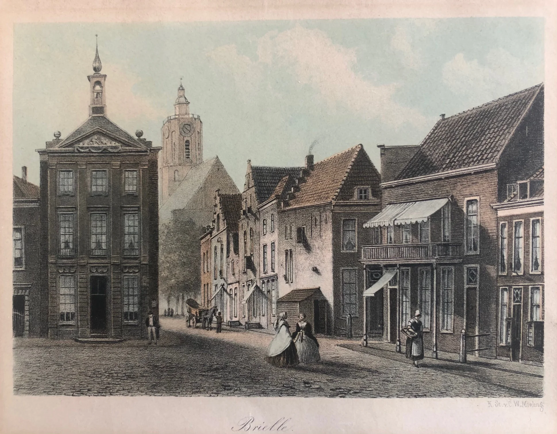
This Brielle City View Lithograph offers a peaceful 19th‑century scene of the historic town in South Holland. Published by C.W. Mieling around 1860, it shows Brielle with fine architectural detail and warm tinted tones. The composition captures the quiet charm of the town’s canals, buildings, and surrounding countryside.
The lithograph measures 16 x 22.5 cm and is in good condition. Its soft colouring and balanced design make it a pleasing and decorative piece. The fine lines and gentle shading reflect Mieling’s craftsmanship and the artistic style of the period.
This Brielle City View Lithograph will appeal to collectors of Dutch prints and admirers of Holland’s historic towns. It combines artistic simplicity with local character, making it a lovely addition to any collection of antique views.
About the Artist: Unknown
Unfortunately, there is no information available about this artist yet. We will update this section when possible.
About the Era: 19th Century (1800s)
The 19th century marked the era of cartography, as mapmaking became professional, organized, and global. Scientists and surveyors used improved instruments and statistical methods, turning maps into trusted scientific documents with greater precision. Surveying advanced with triangulation, precise tools, and national topographic programs. Printing technology improved, adopting lithography and early color printing to produce clearer, richer maps. New thematic maps used techniques like choropleth, flow lines, and dot density to show data visually. Notably, Charles Minard pioneered multivariate mapping, combining multiple data themes on one map.
Map design reflected industrial and Victorian tastes, balancing detail and readability. Governments supported mapping societies to control territories at home and abroad. Maps became essential for urban planning, empire-building, and scientific research. The 19th century also fostered a global map culture, sharing knowledge internationally. Today, 19th-century maps are prized for their science and artistry. They laid the foundation for modern cartography, data visualization, and geographic information science, and are celebrated by collectors and institutions for their insight into industrial-age geography and culture.