Full Description
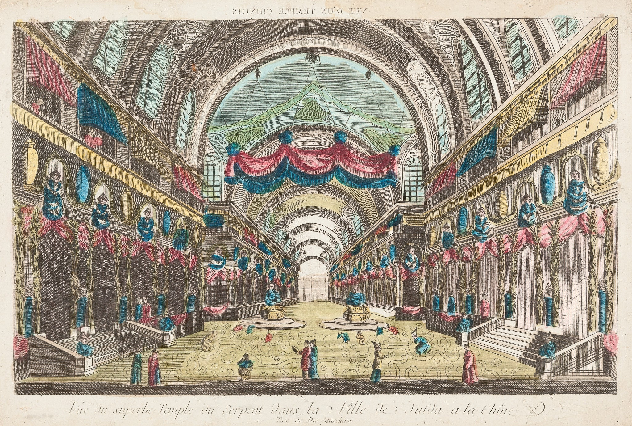
Vue du superbe Temple du Serpent dans la Ville de Juida à la Chine is a fascinating handcoloured engraving published in Paris around 1770. This optical print, or vue d’optique, depicts the interior of a grand temple in Juida, China. At the centre stand two impressive Buddha statues surrounded by elaborate architectural details and figures in ceremonial dress. The scene blends curiosity, mystery, and grace typical of 18th‑century European depictions of the East.
This Chinese temple optical print measures 30.5 x 44.3 cm and remains in very good condition. The colouring is fresh, with strong contrast and depth. Designed for viewing through a zograscope, the print offers a vivid three‑dimensional effect. Collectors value this Chinese temple optical print for its rarity, exotic subject, and vibrant handcolouring. VAT: Margingoods, no VAT.
Explore all our City Views and antique map collection at our store located in the historic heart of Haarlem.
About the Artist: Unknown
Unfortunately, there is no information available about this artist yet. We will update this section when possible.
About the Era: 18th Century (1700s)
During the 18th century, mapmaking became more scientific and precise. Improved instruments like the telescope and chronometer helped cartographers increase accuracy, shifting maps from decorative art to factual documents. Copperplate engraving stayed as the main printing method, producing fine lines, while hand-coloring added visual impact. French cartographers, such as the Cassini family, led national surveys with geodetic measurements and triangulation, while Dutch mapmakers like Joan Blaeu enhanced printing and atlas quality, ushering in a golden age of atlases.
Maps began including more information and notes to help users, and ornate decorations mostly gave way to scientific clarity, except for cartouches and borders. National and colonial ambitions guided map production to aid navigation and territorial claims. By the late 18th century, large-scale surveys set modern cartography standards. Today, 18th-century maps mix scientific knowledge with artistry, are prized by collectors, and have influenced later cartographic methods. They offer insights into Enlightenment exploration and geography.