Full Description
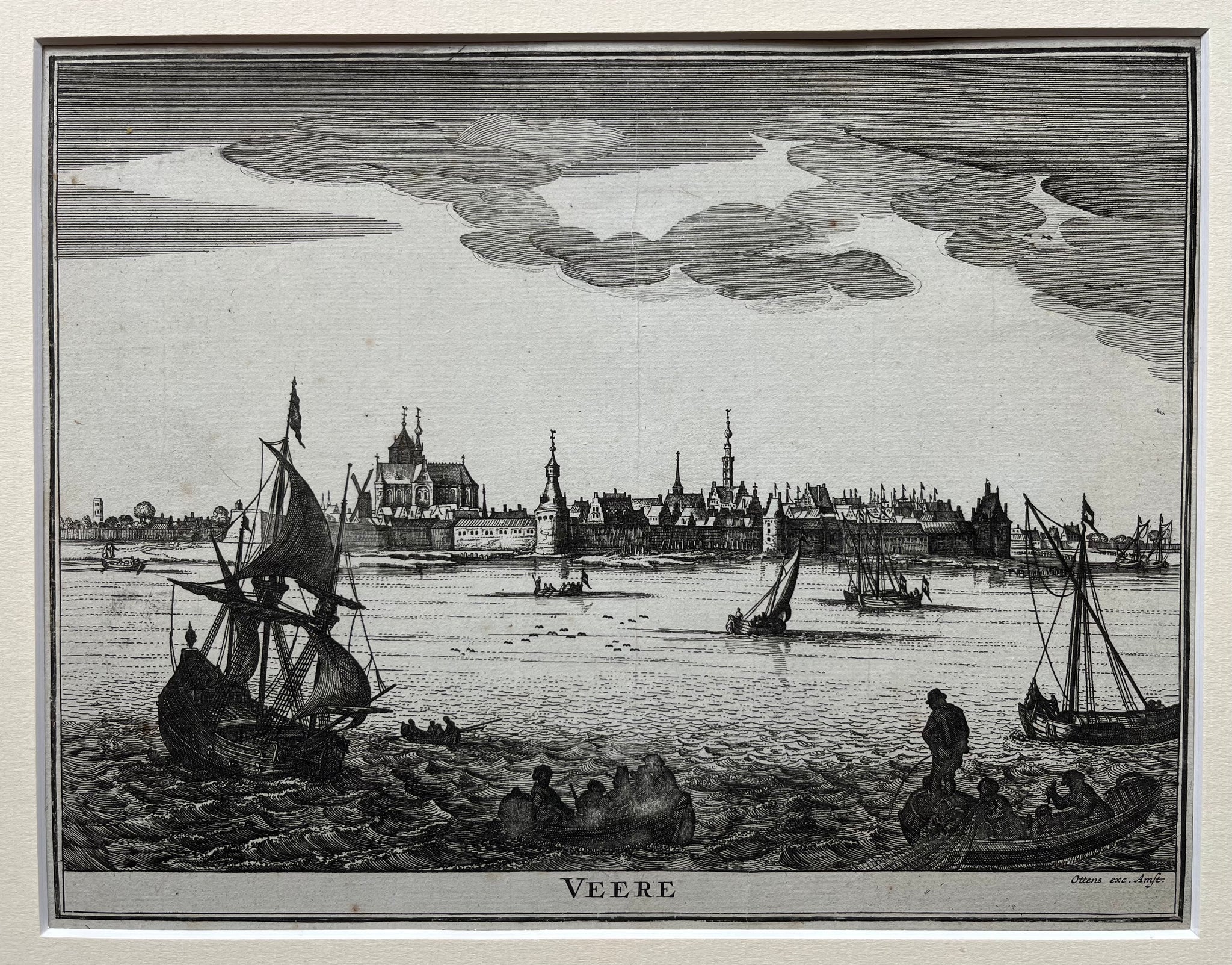
This Veere Engraving presents a fine 18th‑century view of the historic Zeeland city. Pieter Hendricksz created the engraving, and Ottens published it around 1720. The image shows Veere’s harbour, city walls, and prominent buildings with balanced composition and strong architectural detail. It captures the spirit of a prosperous trading town along the Dutch coast.
The engraving measures 20.5 x 27 cm and remains in very good condition, with only a tiny hole in the margin. Crisp lines and subtle tonal contrasts highlight the artist’s skill and the city’s maritime charm. The Veere Engraving by Pieter Hendricksz brings the Zeeland landscape to life with its precise perspective and historical atmosphere.
Collectors of Dutch city views and antique engravings appreciate this Veere Engraving by Pieter Hendricksz for its beauty, craftsmanship, and faithful representation of one of Zeeland’s most graceful towns.
About the Artist: Pieter Hendricksz
Unfortunately, there is no information available about this artist yet. We will update this section when possible.
About the Era: 18th Century (1700s)
During the 18th century, mapmaking became more scientific and precise. Improved instruments like the telescope and chronometer helped cartographers increase accuracy, shifting maps from decorative art to factual documents. Copperplate engraving stayed as the main printing method, producing fine lines, while hand-coloring added visual impact. French cartographers, such as the Cassini family, led national surveys with geodetic measurements and triangulation, while Dutch mapmakers like Joan Blaeu enhanced printing and atlas quality, ushering in a golden age of atlases.
Maps began including more information and notes to help users, and ornate decorations mostly gave way to scientific clarity, except for cartouches and borders. National and colonial ambitions guided map production to aid navigation and territorial claims. By the late 18th century, large-scale surveys set modern cartography standards. Today, 18th-century maps mix scientific knowledge with artistry, are prized by collectors, and have influenced later cartographic methods. They offer insights into Enlightenment exploration and geography.