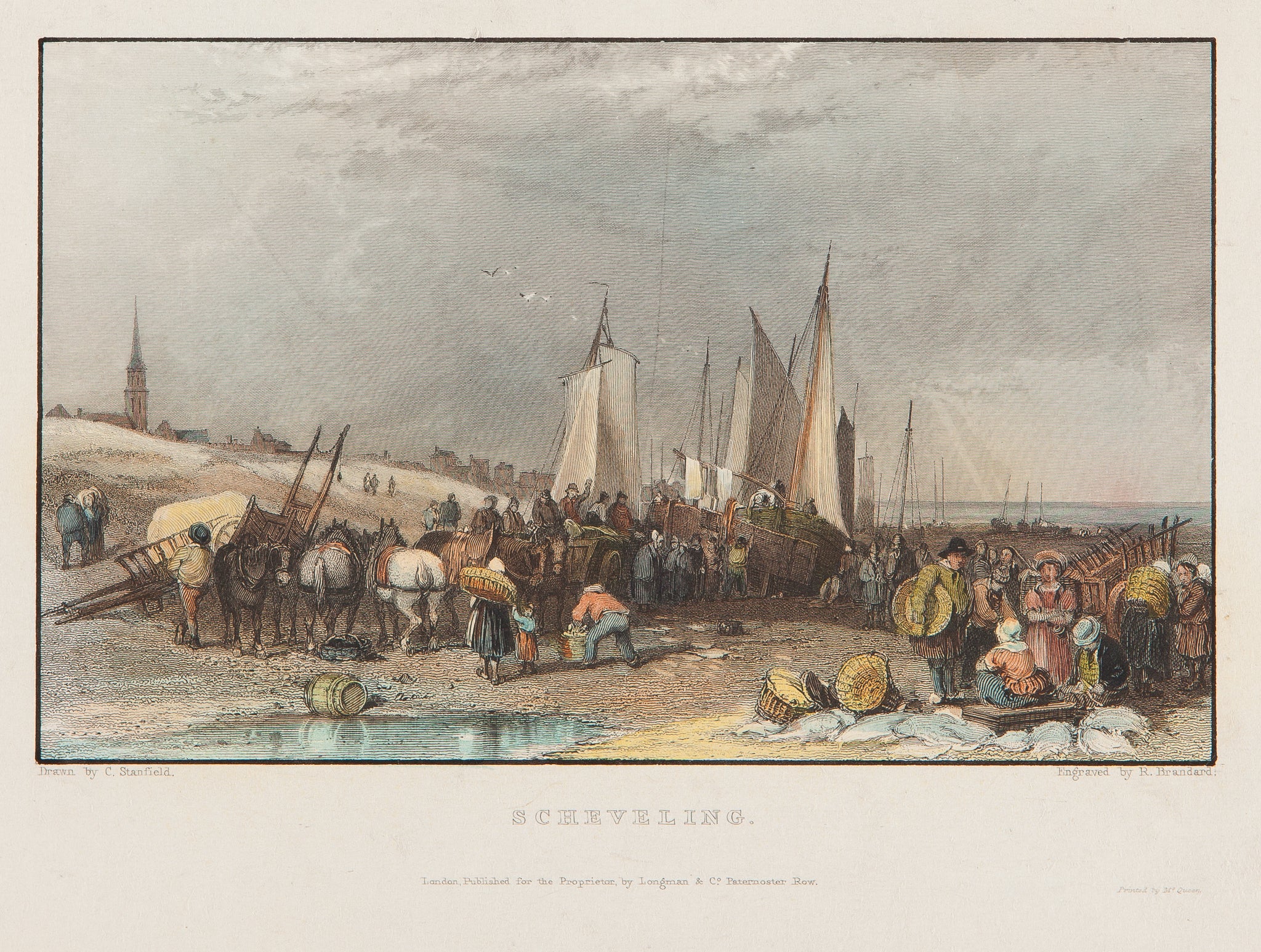
Full Description
Scheveling is a delicate hand-coloured engraving by R. Brandard after a drawing by C. Stanfield. Published by Longman & Co. in London around 1840, it shows the Dutch coastal village of Scheveningen near The Hague. The scene includes fishing boats along the beach, villagers at work, and calm waves breaking on the North Sea shore. Fine engraving lines and soft colouring bring the peaceful atmosphere of this seaside town to life.
This Scheveningen village engraving measures 9 x 14.5 cm and is in very good condition. The paper remains strong, and the colours look clear and well-balanced. Collectors value this Scheveningen village engraving for its charm, detail, and fine depiction of 19th‑century coastal life in Holland. VAT: Margingoods.
Explore our entire collection of City Views, antique maps, Botanical prints and much more at our store located in the historic heart of Haarlem.
About the Artist: R. Brandard
Unfortunately, there is no information available about this artist yet. We will update this section when possible.
About the Era: 19th Century (1800s)
The 19th century marked the era of cartography, as mapmaking became professional, organized, and global. Scientists and surveyors used improved instruments and statistical methods, turning maps into trusted scientific documents with greater precision. Surveying advanced with triangulation, precise tools, and national topographic programs. Printing technology improved, adopting lithography and early color printing to produce clearer, richer maps. New thematic maps used techniques like choropleth, flow lines, and dot density to show data visually. Notably, Charles Minard pioneered multivariate mapping, combining multiple data themes on one map.
Map design reflected industrial and Victorian tastes, balancing detail and readability. Governments supported mapping societies to control territories at home and abroad. Maps became essential for urban planning, empire-building, and scientific research. The 19th century also fostered a global map culture, sharing knowledge internationally. Today, 19th-century maps are prized for their science and artistry. They laid the foundation for modern cartography, data visualization, and geographic information science, and are celebrated by collectors and institutions for their insight into industrial-age geography and culture.