Full Description
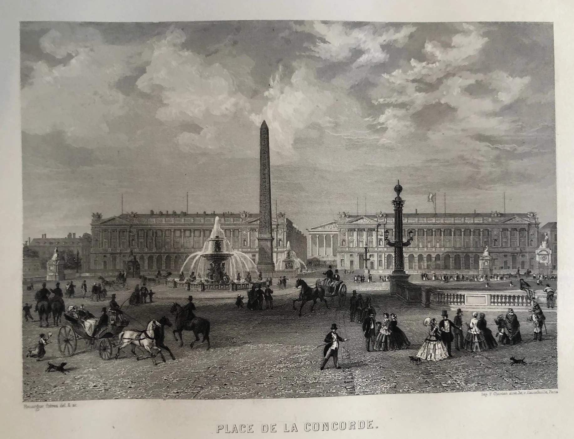
This Paris Place de la Concorde Engraving offers a graceful 19th‑century view of one of the city’s most iconic squares. Rouargues Frères created the work, and Imp. F. Chardon published it in 1857. The steel engraving captures the harmony and symmetry of the Place de la Concorde with its fountains, statues, and distant city skyline.
The print measures 12 x 17.5 cm and remains in very good condition. Fine linework and balanced tones bring the Parisian architecture and atmosphere to life. The technique reflects the precision and elegance typical of mid‑19th‑century French engraving.
Collectors of antique prints and admirers of Parisian scenes will appreciate this Paris Place de la Concorde Engraving. It conveys both the historical charm and artistic sophistication that define the heart of Paris.
About the Artist: F. Chardon
Unfortunately, there is no information available about this artist yet. We will update this section when possible.
About the Era: 19th Century (1800s)
The 19th century marked the era of cartography, as mapmaking became professional, organized, and global. Scientists and surveyors used improved instruments and statistical methods, turning maps into trusted scientific documents with greater precision. Surveying advanced with triangulation, precise tools, and national topographic programs. Printing technology improved, adopting lithography and early color printing to produce clearer, richer maps. New thematic maps used techniques like choropleth, flow lines, and dot density to show data visually. Notably, Charles Minard pioneered multivariate mapping, combining multiple data themes on one map.
Map design reflected industrial and Victorian tastes, balancing detail and readability. Governments supported mapping societies to control territories at home and abroad. Maps became essential for urban planning, empire-building, and scientific research. The 19th century also fostered a global map culture, sharing knowledge internationally. Today, 19th-century maps are prized for their science and artistry. They laid the foundation for modern cartography, data visualization, and geographic information science, and are celebrated by collectors and institutions for their insight into industrial-age geography and culture.