Full Description
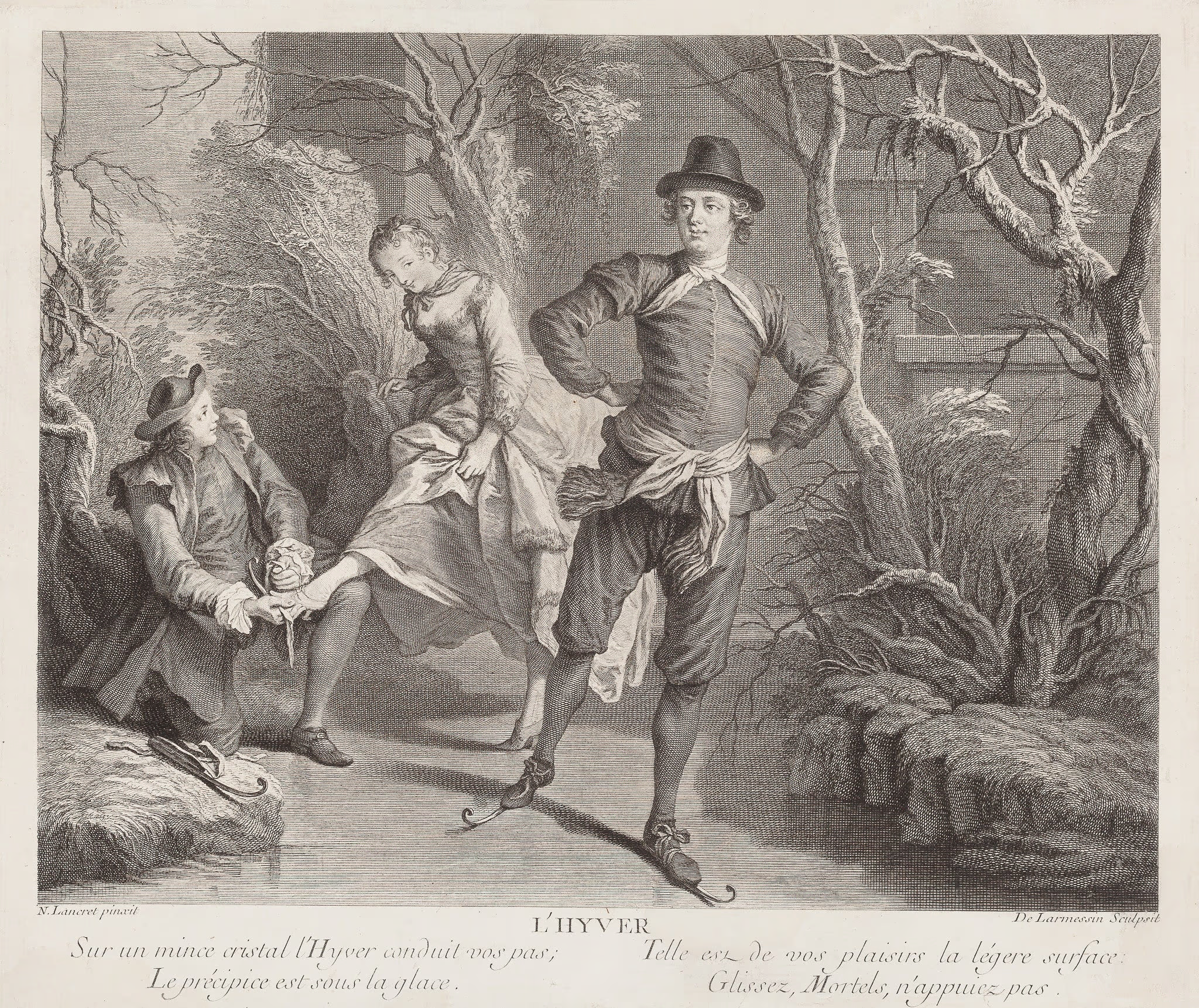
L’Hyver – Skating is an elegant French engraving by Nicolas de Larmessin IV, created around 1735 after Nicolas Lancret. The scene captures people skating gracefully on a frozen surface, combining movement, beauty, and humour in true Rococo style. The poetic inscription warns of the fragility beneath the ice, echoing the fleeting joys of winter.
This winter skating engraving measures 28.2 x 36 cm and remains in very good condition. The dark, fresh impression stands out, and the sheet has been carefully doubled on paper for preservation. Lancret’s playful composition and Larmessin’s precise technique make this print a fine example of 18th-century French engraving. Ideal for collectors of seasonal art and Rococo prints. VAT: Margingoods, no VAT.
Check out all our prints and antique maps at our store located in the historic heart of Haarlem. Or visit the rest of our online shop.
About the Artist: Nicolas de Larmessin
Unfortunately, there is no information available about this artist yet. We will update this section when possible.
About the Era: 18th Century (1700s)
During the 18th century, mapmaking became more scientific and precise. Improved instruments like the telescope and chronometer helped cartographers increase accuracy, shifting maps from decorative art to factual documents. Copperplate engraving stayed as the main printing method, producing fine lines, while hand-coloring added visual impact. French cartographers, such as the Cassini family, led national surveys with geodetic measurements and triangulation, while Dutch mapmakers like Joan Blaeu enhanced printing and atlas quality, ushering in a golden age of atlases.
Maps began including more information and notes to help users, and ornate decorations mostly gave way to scientific clarity, except for cartouches and borders. National and colonial ambitions guided map production to aid navigation and territorial claims. By the late 18th century, large-scale surveys set modern cartography standards. Today, 18th-century maps mix scientific knowledge with artistry, are prized by collectors, and have influenced later cartographic methods. They offer insights into Enlightenment exploration and geography.