Family Background and Contributions
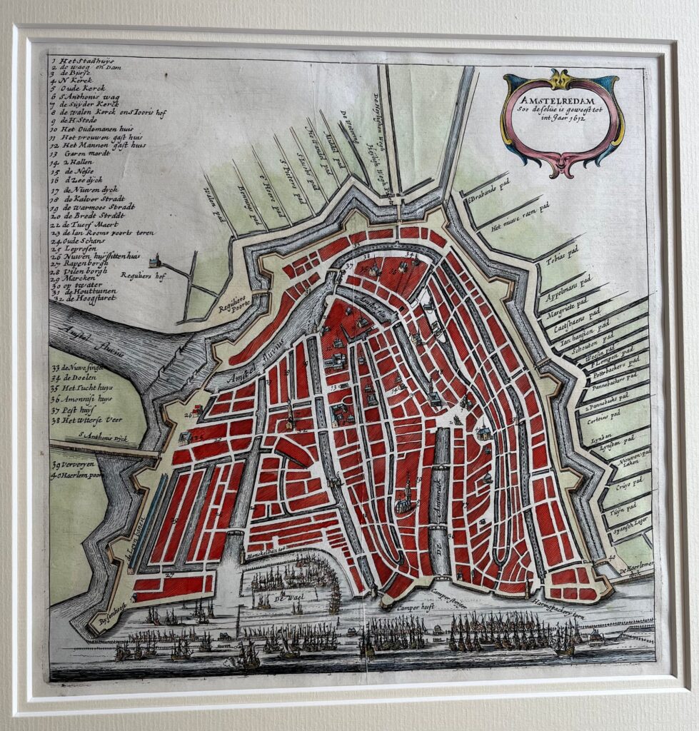
The Smient and Rieuwertsz families played important roles in Dutch cartography and publishing during the 17th century. They belonged to interconnected circles of mapmakers, engravers, and publishers active in Amsterdam, a hub of cartographic innovation and print production.
The Rieuwertsz family, notably Jan Rieuwertsz Sr. (ca. 1617-1687), collaborated with various scholars and printers, influencing the spread of cartographic and scholarly works. Their publishing house was involved in producing geographic texts linked to Dutch colonial activity, trade, and scientific exploration.
While less documented, the Smient family was part of the broader network of Dutch cartographers and book traders, contributing to the dissemination of maps and atlases. Both families embodied the early modern digital media ecosystem of print, distribution, and intellectual exchange.
Historical Impact
Together, these families contributed to the golden age of Dutch cartography by supporting the publication of atlases, city plans, and scientific maps used in navigation, trade, and scholarship. Their work helped establish Dutch prints as some of the most detailed and artistically renowned of their time.
Key Characteristics
-
Active during the 17th century Dutch Golden Age in Amsterdam
-
Publishers and distributors of cartographic and scholarly works
-
Connected to prominent mapmakers and scholars of the time
-
Played roles in spreading knowledge about the Dutch colonial empire and European geography