Full Description
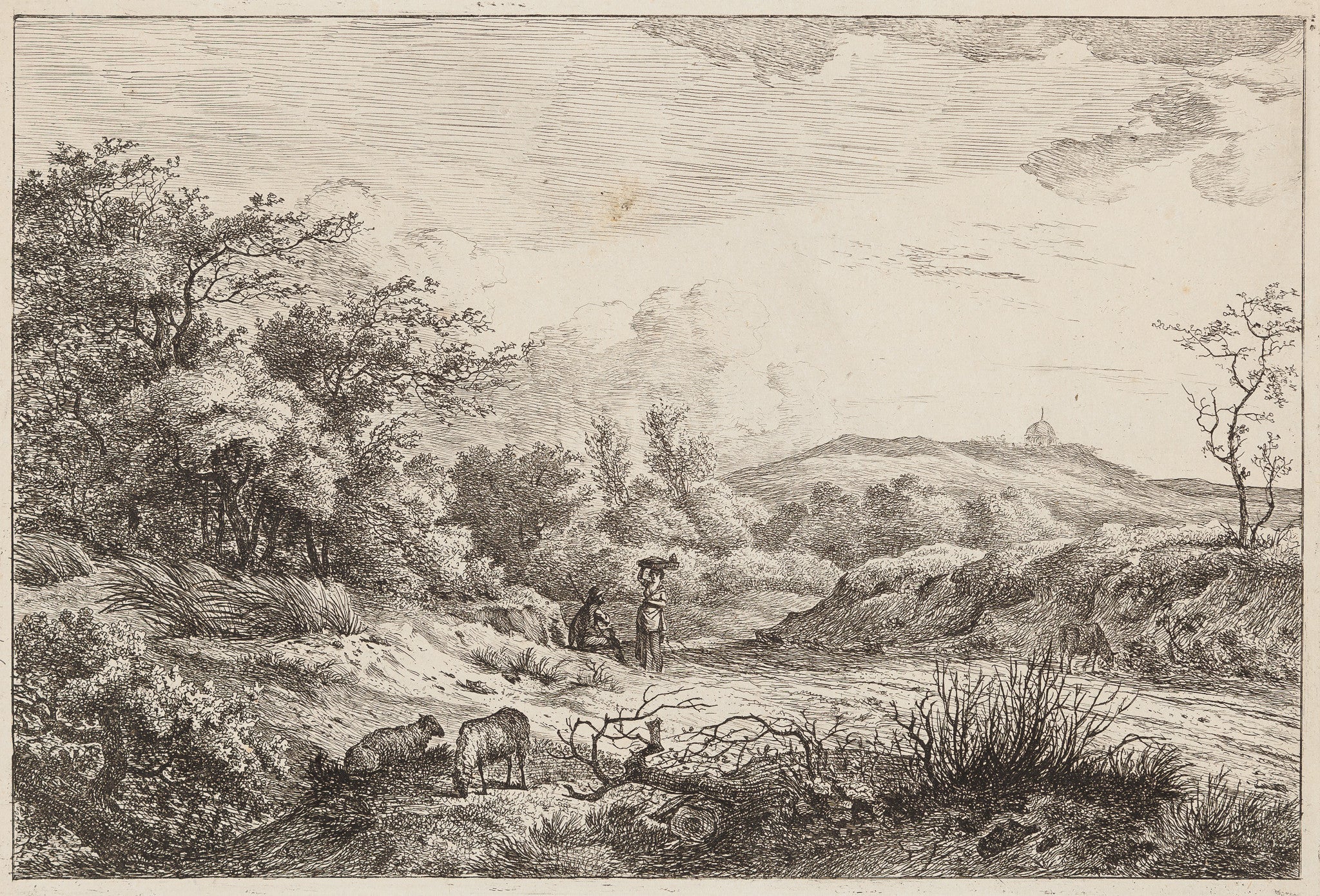
This Scheveningen etching was created around 1800 by Hermanus Fock, a Dutch artist known for his fine drawings and landscape etchings. The scene shows the dunes behind what is now the Seinpostduin, with the cupola of Rev. Faassen de Heer visible in the distance. Fock’s delicate lines and balanced composition capture the quiet, windswept atmosphere of the Dutch coast.
This etching measures 16 x 24 cm and is in very fine condition. The impression is crisp, showing the artist’s great control of tone and structure. Collectors value this Scheveningen etching Hermanus Fock for its subtle detail, peaceful mood, and refined craftsmanship. VAT: Margingoods, no VAT.
Explore all our City Views and antique map collection at our store located in the historic heart of Haarlem.
About the Artist: Hermanus Fock
Unfortunately, there is no information available about this artist yet. We will update this section when possible.
About the Era: 18th Century (1700s)
During the 18th century, mapmaking became more scientific and precise. Improved instruments like the telescope and chronometer helped cartographers increase accuracy, shifting maps from decorative art to factual documents. Copperplate engraving stayed as the main printing method, producing fine lines, while hand-coloring added visual impact. French cartographers, such as the Cassini family, led national surveys with geodetic measurements and triangulation, while Dutch mapmakers like Joan Blaeu enhanced printing and atlas quality, ushering in a golden age of atlases.
Maps began including more information and notes to help users, and ornate decorations mostly gave way to scientific clarity, except for cartouches and borders. National and colonial ambitions guided map production to aid navigation and territorial claims. By the late 18th century, large-scale surveys set modern cartography standards. Today, 18th-century maps mix scientific knowledge with artistry, are prized by collectors, and have influenced later cartographic methods. They offer insights into Enlightenment exploration and geography.