Full Description
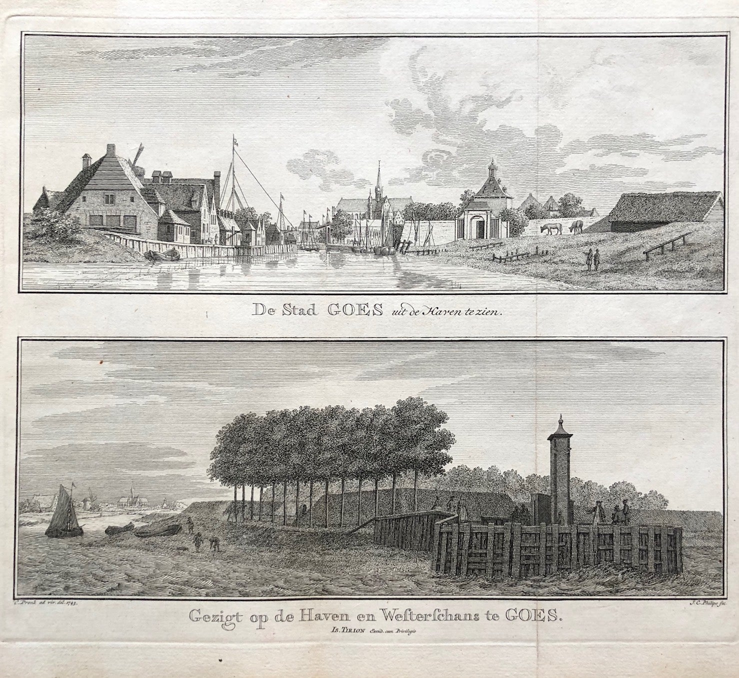
De Stad Goes uit de Haven te zien is a beautiful 1753 engraving by Cornelis Pronk after J.C. Philips. The sheet shows two views of Goes in Zeeland, both seen from the north. The harbour depicted is the Nieuwe Haven, with ships, quays, and lively city detail. Pronk’s clear linework and perspective capture the character of this Dutch harbour town.
This Goes Zeeland engraving measures 17.5 x 20.5 cm and remains in very good condition. The fold in the centre is original to publication and does not affect the image. Collectors value this Goes Zeeland engraving for its artistry, precision, and fine representation of 18th‑century Dutch urban life. VAT: Margingoods (No VAT).
Explore our entire collection of City Views, antique maps, Botanical prints and much more at our store located in the historic heart of Haarlem.
About the Artist: Cornelis Pronk
Unfortunately, there is no information available about this artist yet. We will update this section when possible.
About the Era: 18th Century (1700s)
During the 18th century, mapmaking became more scientific and precise. Improved instruments like the telescope and chronometer helped cartographers increase accuracy, shifting maps from decorative art to factual documents. Copperplate engraving stayed as the main printing method, producing fine lines, while hand-coloring added visual impact. French cartographers, such as the Cassini family, led national surveys with geodetic measurements and triangulation, while Dutch mapmakers like Joan Blaeu enhanced printing and atlas quality, ushering in a golden age of atlases.
Maps began including more information and notes to help users, and ornate decorations mostly gave way to scientific clarity, except for cartouches and borders. National and colonial ambitions guided map production to aid navigation and territorial claims. By the late 18th century, large-scale surveys set modern cartography standards. Today, 18th-century maps mix scientific knowledge with artistry, are prized by collectors, and have influenced later cartographic methods. They offer insights into Enlightenment exploration and geography.