Full Description
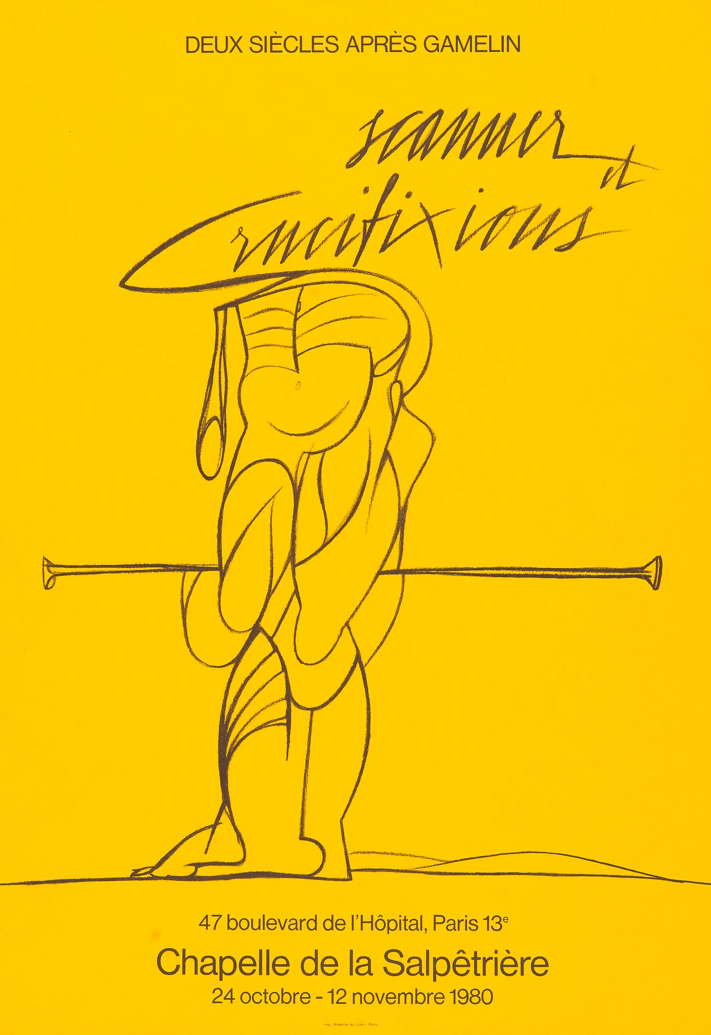
Scanner et Crucifixions (Salpêtrière) is an original lithograph by the Italian artist Valerio Adami, created in 1980. Printed in vivid colours and bold outlines, this work reflects Adami’s distinctive style, combining abstract form and symbolic meaning. The composition explores contrast, structure, and emotion through a refined graphic language.
This lithograph measures 62 x 42 cm and is recorded in Maeght #2139. The print stands out for its expressive clarity and carefully balanced shapes. Collectors appreciate this Adami lithograph 1980 for its strong modern aesthetic, cultural significance, and excellent print quality. VAT: Margingoods.
Explore all our prints at our store located in the historic heart of Haarlem.
About the Artist:
Unfortunately there is no information about this artist yet, we will update this section when possible.
About the Era: 20th Century (1900s)
The 20th century transformed cartography through technological innovation, global exploration, and the rise of digital mapping. Aerial photography, satellite imagery, and geodesy revolutionized accuracy, replacing centuries-old surveying methods. Governments and international agencies undertook massive mapping projects to support global navigation, aviation, and urban planning. World wars accelerated military cartography, leading to precise topographic and aeronautical charts. Thematic cartography expanded through the use of statistics, enabling social, environmental, and economic maps that visualized complex global data.
Advances in photogrammetry and computer science shifted mapmaking from manual drafting to automated, data-driven production. By the late 20th century, Geographic Information Systems (GIS) redefined how maps were made, stored, and analyzed—introducing dynamic, interactive cartography for both professionals and the public. Atlases, road maps, and educational maps became everyday tools, blending graphic design with geographic accuracy. The 20th century thus marks cartography’s transition from art and measurement to a digital, analytical, and globally integrated discipline—forming the bridge between traditional mapmaking and modern geospatial technology.