Full Description
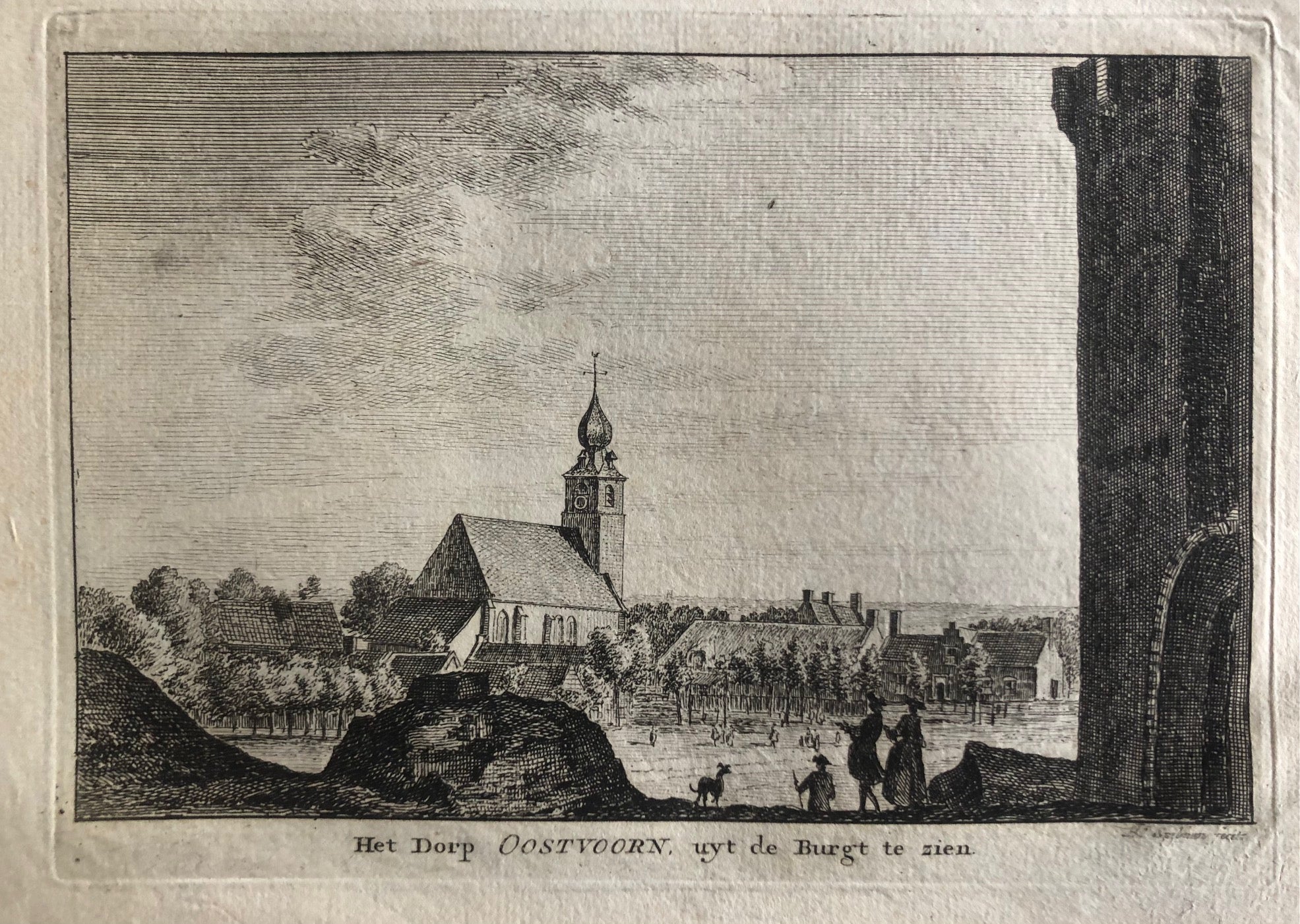
This Oostvoorne Village Engraving titled ‘Het Dorp Oostvoorn, uyt de Burgt te zien’ is a fine and rare 18th‑century print by Hendrik Spilman. Dating from around 1760, it shows a peaceful view of the village of Oostvoorne as seen from the old castle mound. The church, village houses, and surrounding landscape are carefully rendered in Spilman’s characteristic detailed style.
The engraving measures 14 x 19.5 cm (plate) and is in very good condition. Crisp lines and balanced composition bring soft atmosphere to the rural scene. Each detail reflects the precision and clarity that made Spilman one of the leading Dutch topographical engravers of his time.
This Oostvoorne Village Engraving is a wonderful piece for collectors of antique Dutch prints or lovers of Holland’s regional history. It combines charm, craftsmanship, and historical value in one elegant 18th‑century view.
About the Artist: Hendrik Spilman
Unfortunately, there is no information available about this artist yet. We will update this section when possible.
About the Era: 18th Century (1700s)
During the 18th century, mapmaking became more scientific and precise. Improved instruments like the telescope and chronometer helped cartographers increase accuracy, shifting maps from decorative art to factual documents. Copperplate engraving stayed as the main printing method, producing fine lines, while hand-coloring added visual impact. French cartographers, such as the Cassini family, led national surveys with geodetic measurements and triangulation, while Dutch mapmakers like Joan Blaeu enhanced printing and atlas quality, ushering in a golden age of atlases.
Maps began including more information and notes to help users, and ornate decorations mostly gave way to scientific clarity, except for cartouches and borders. National and colonial ambitions guided map production to aid navigation and territorial claims. By the late 18th century, large-scale surveys set modern cartography standards. Today, 18th-century maps mix scientific knowledge with artistry, are prized by collectors, and have influenced later cartographic methods. They offer insights into Enlightenment exploration and geography.