Full Description
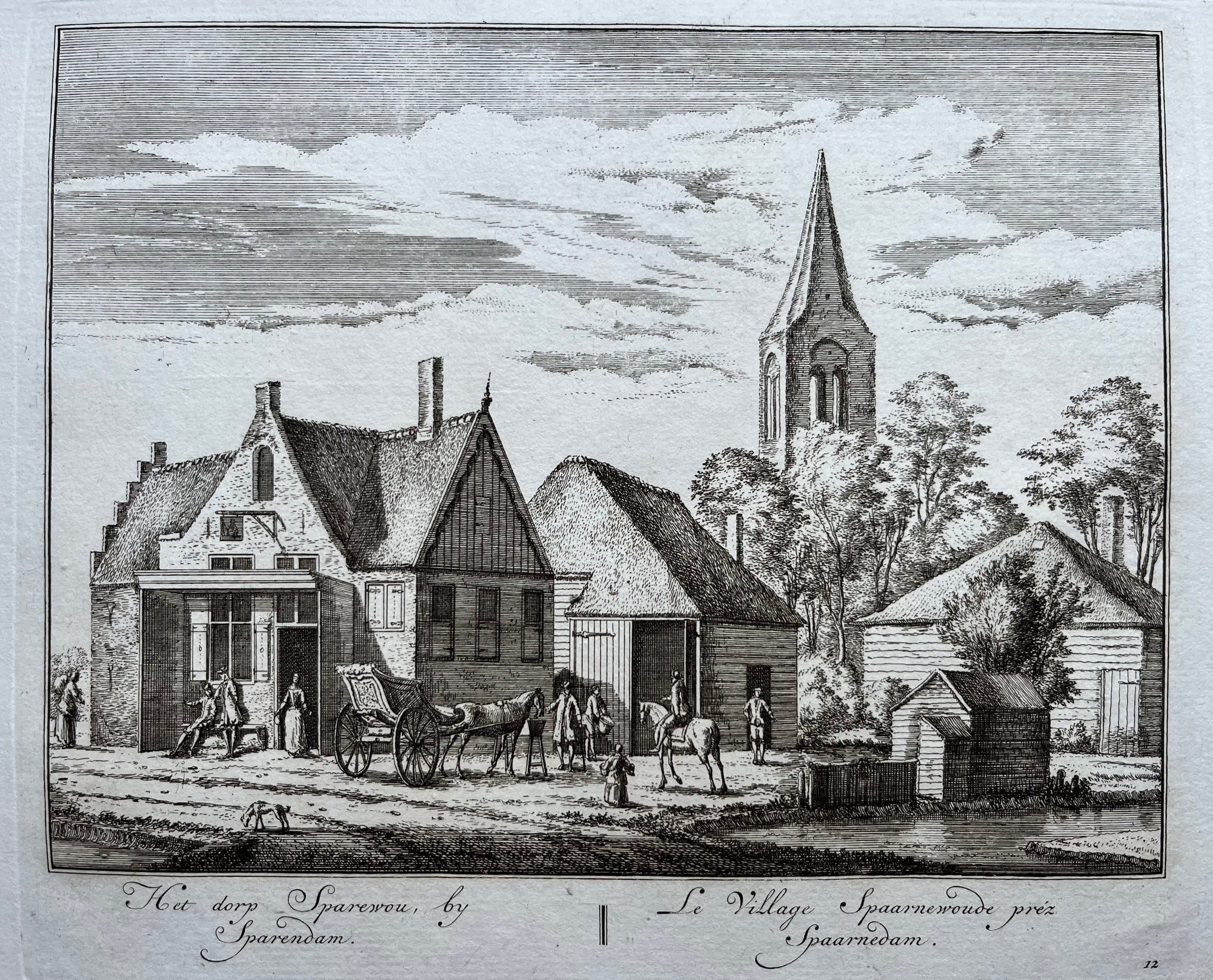
This Spaarnwoude Engraving by Rademaker titled ‘Het dorp Sparewou by Sparendam || Le Village Spaarnwoude prez Spaarnedam’ shows a graceful view of this North Holland village near Spaarndam. Abraham Rademaker engraved the scene and published it in 1728. The composition captures the peaceful charm of rural life, with cottages, trees, and the village church forming a quiet landscape.
The engraving measures 15 x 19.5 cm and remains in very good condition. Rademaker’s fine line work and balance between architecture and nature create a soft, harmonious scene typical of his style. The Spaarnwoude Engraving by Rademaker highlights his ability to record Dutch villages with both clarity and warmth.
Collectors of Dutch topographical art and antique engravings value this engraving for its historical significance, precise detailing, and the serene beauty that defines early 18th‑century Holland.
About the Artist: Abraham Rademaker
Unfortunately, there is no information available about this artist yet. We will update this section when possible.
About the Era: 18th Century (1700s)
During the 18th century, mapmaking became more scientific and precise. Improved instruments like the telescope and chronometer helped cartographers increase accuracy, shifting maps from decorative art to factual documents. Copperplate engraving stayed as the main printing method, producing fine lines, while hand-coloring added visual impact. French cartographers, such as the Cassini family, led national surveys with geodetic measurements and triangulation, while Dutch mapmakers like Joan Blaeu enhanced printing and atlas quality, ushering in a golden age of atlases.
Maps began including more information and notes to help users, and ornate decorations mostly gave way to scientific clarity, except for cartouches and borders. National and colonial ambitions guided map production to aid navigation and territorial claims. By the late 18th century, large-scale surveys set modern cartography standards. Today, 18th-century maps mix scientific knowledge with artistry, are prized by collectors, and have influenced later cartographic methods. They offer insights into Enlightenment exploration and geography.